

Looking for practical and affordable solution for your GIS project.
Orbit Geomatics Engineering
A Complete Solution for Geospatial Data Services In India
Orbit Geomatics Engineering is an Indian-based technology-driven emerging GIS services & spatial data provider for creative solutions in the areas of Digital Mapping, Photogrammetry, LiDAR, Urban Planning & Geographical Information Systems Applications.
OGE is a business endeavor aiming at serving needs on the National and Global Markets through focused, innovative,efficient, quality products and services in all areas of spatial technology and applications.
The company at the forefront of technological progress in GIS and have skilled process engineering teams & consultants, using streamlined systems to ensure the best quality and accurate results to a worldwide clientele.
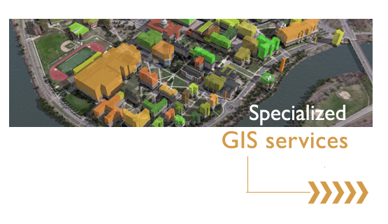
GIS Data Services offered
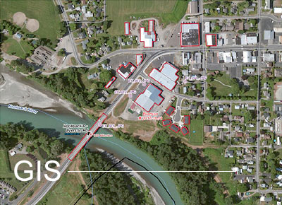
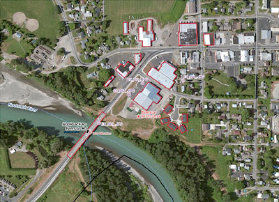
- GIS (Planimetry mapping, Georeferencing, Digitalization)
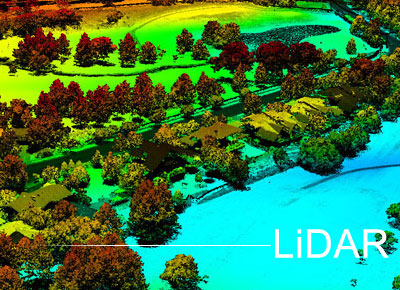
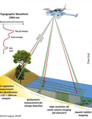
- LiDAR - (Airborne Lidar, Mobile Mapping, Drone Mapping, Powerline Mapping)
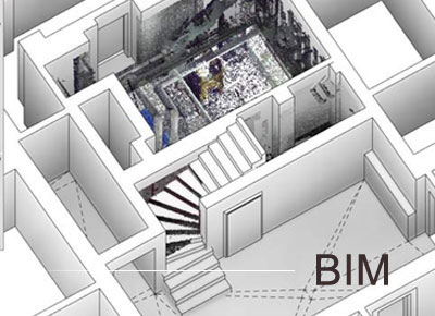
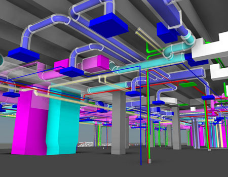
- BIM- (BIM Modelling, Asbuilt model, BIM Coordination)
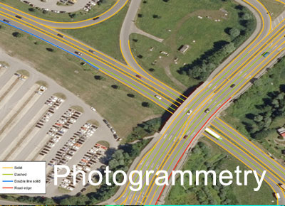
- Photogrammetry- (Stereo Mapping, Digital Orthophoto, Terra Orthophoto)
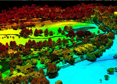
- Aerial Lidar
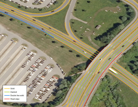
- Mobile Mapping
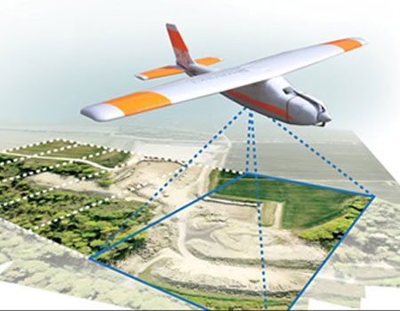
- Drone Mapping
- GIS Mapping
- Aerial Triangulation
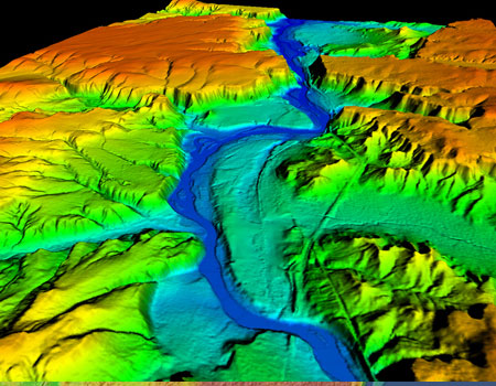
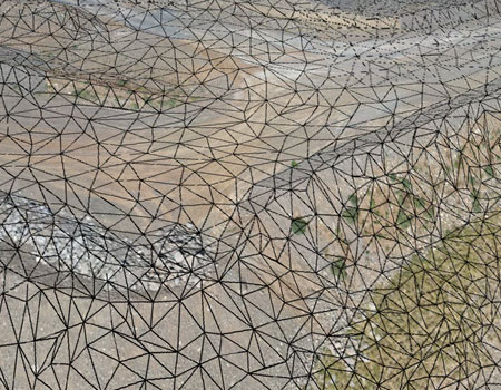
- DTM
- Photogrammetry
- 3D City Modelling
- BIM modeling
- Asbuilt Modelling
Year of Experience
0
Skilled Proffesional
0
Project Completed
0
+
Customer Satisfaction
0
%
Testimonials
The Best Way To View Success Is Straight From The Source
“Everything about the Services has been awesome, especially the incredible support by the team .”

Marco Riba
Want to ask a question ?
[contact-form-7 id="5" title="form"]
