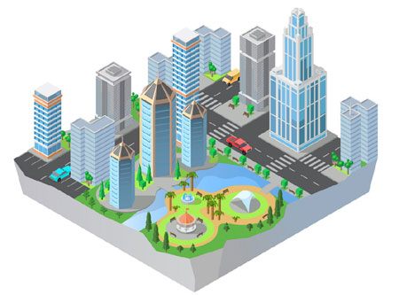
3D city modelling and urban visualization using the technology of photogrammetry is one of the largest growing research topics in digital architecture.
There are many different methods of 3D city modelling and many different applications of 3D city models. This paper introduces a modelling method of creating a 3D city model from aerial images using a commercial off-the-shelf photogrammetry tool and discusses the efficiency and effectiveness in terms of time, labor, and reusability.
The 3D city model is created not only for scientific visualization but also for architectural design evaluations.
