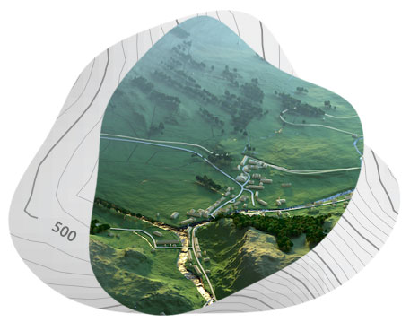
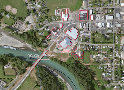
About us

Get to know us

Orbit Geomatics Engineering is an Indian-based technology-driven emerging GIS services & spatial data provider for creative solutions in the areas of Digital Mapping, Photogrammetry, LiDAR, Urban Planning & Geographical Information Systems Applications.

OGE is a business endeavor aiming at serving needs on the National and Global Markets through focused, innovative, efficient, quality products and services in all areas of spatial technology and applications.

Why Choose OGE

Specialized skillset

  • Aerial Lidar
  • Mobile Mapping
  • Drone Mapping
  • GIS Mapping
  • Aerial Triangulation
  • DTM
  • Photogrammetry
  • 3D City Modelling
  • BIM modeling
  • Asbuilt Modelling

Our Vision

Orbit Geomatics Engineering is an emerging and leading service provider for GIS, Photogrammetry, LiDAR, Remote Sensing, Orthophoto and other Geo-Spatial products. We receive this recognition because of our full-service, turn-key solutions for the GIS industry. Our many years of experience and innovation have allowed us to expand into a new era by offering leading-edge technological services and a consistent forward-thinking approach in serving our customers.

OGE is committed to delivering the most professional products and services to our customers. The company vision is to provide the best resources and technical services to the market and become universally recognized as interoperable in GIS and Mapping

Our Mission

  • To become a leading global provider of GIS, CAD and IT outsourcing services
  • To establish ourselves as an institution par excellence
  • To create value and make a difference for all stakeholders

GIS Services

GIS

(Planimetry mapping, Georeferencing, Digitalization)
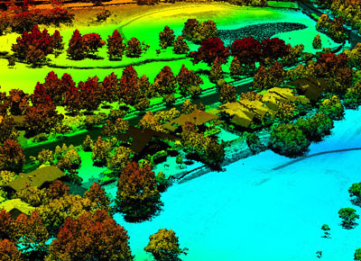
LiDAR

(Airborne Lidar, Mobile Mapping, Drone Mapping, Powerline Mapping)
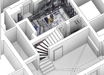
BIM

(BIM Modelling, Asbuilt model, BIM Coordination)

Photogrammetry

(Stereo Mapping, Digital Orthophoto, Terra Orthophoto)

HIGHLIGHTS

Year of Experience
0
Skilled Proffesional
0
Project Completed
0 +
Customer Satisfaction
0 %