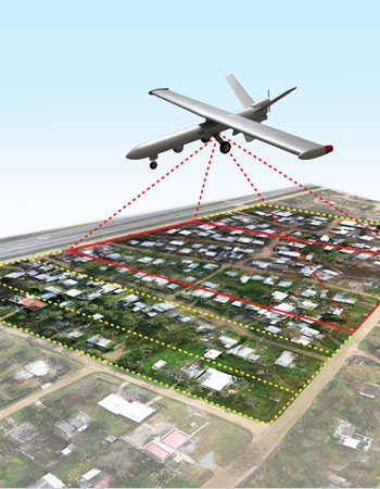
Aerial Triangulation represents the mathematical process of establishing precise and accurate relationships between the individual image coordinate systems and a defined datum and projection (ground).
The main objective of aerial triangulation is to produce from ground control, sufficient points in the photogrammetric models to ensure that each model can be oriented accurately as required for stereo compilation, in either DTM generation and enhancement ( for orthophoto production) or 3D feature extraction.


