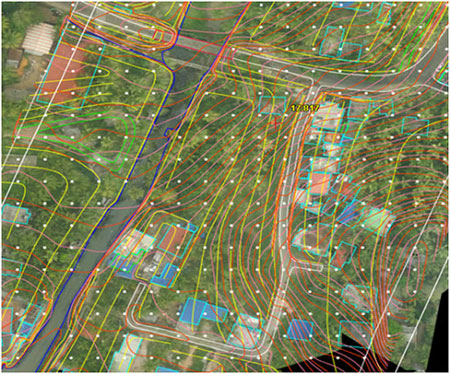
A Digital Terrain Model (DTM) approximates a part or the whole of the continuous terrain surface by a set of discrete points with unique height values over 2D points. Heights are in approximation vertical distances between terrain points and some reference surface (e.g., mean sea level, geoid and ellipsoid) or geodetic datum. Mostly arranged in terms of regular grids, the 2D points are typically given as geodetic coordinates (latitude and longitude), or planar coordinates (North and East values). DTMs usually assign a single unique height value to each 2D point, so cannot describe vertical terrain features (e.g., cliffs). DTMs are therefore “2.5D” rather than truly 3D models of the terrain (Weibel and Heller, 1991).
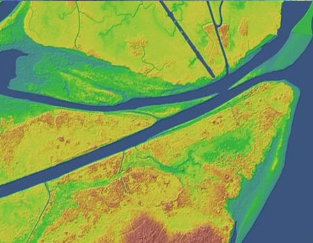
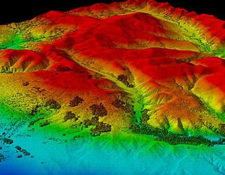
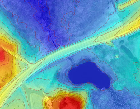
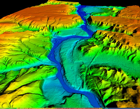
Digital Surface Model
Digital Surface Model (DSM) that includes ground surface, vegetation and man-made objects DSM demonstrate the natural and artificial features on the Earth’s surface.
