Geo Referencing
Engineering Services
Engineering Services
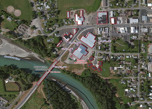
Raster data is obtained from many sources, such as satellite images, aerial cameras, and scanned maps. Modern satellite images and aerial cameras tend to have relatively accurate location information but might need slight adjustments to line up all your GIS data. Scanned maps and historical data usually do not contain spatial reference information. In these cases you will need to use accurate location data to align or georeferenced your raster data to a map coordinate system. A map coordinate system is defined using a map projection-a method by which the curved surface of the earth is portrayed on a flat surface.