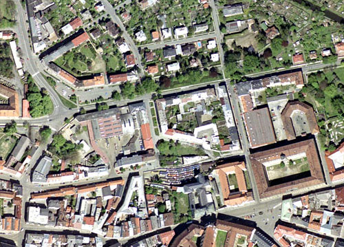
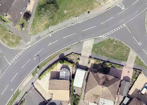
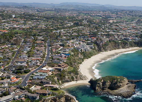
Orthophotos coupled with a topographic mapping project give a precise reference (backdrop) tool that enhances the users understanding of any project area. Combined into orthophoto mosaics the imagery can cover a large area such as a catchment, river basin, freeway or local government area.
An orthophoto is an aerial photograph that has been geometrically corrected or ‘ortho-rectified’ such that the scale of the photograph is uniform and utilised in the same manner as a map. An ortho-photograph can be used to measure true distances of features within the photograph. Planimetric corrections have been applied to remove lens distortions and optics, camera angle, and differences in elevation (topographic relief) through a process of measuring ground control points to ‘tie’ the photo to the ground, in a drawing-pin like manner. An orthophoto is an accurate representation of the Earth’ s surface. Orthophotos have the benefits of high detail, timely coverage combined with the benefits of a map including uniform scale and true geometry.